Published On Mar 3, 2023
COURSE LINK
Archviz Drone Flyovers With Camera Tracking and Compositing: https://bit.ly/3JaJj1F
SCRIPT DOWNLOAD
Get the AE Transfer script HERE: http://ae-transfer.com/
DOWNLOADS
Download my example Vantage Scene: https://bit.ly/3LJ1PNk
Download all my free models/projects here: https://bit.ly/3LJ1PNk
Download my full 3ds Max Scenes: https://bit.ly/3LJ1PNk
OTHER RELEVANT COURSES
Free Unreal Engine Mini Course: https://bit.ly/3zYunOc
PRO Unreal Engine Course (with new UE5 project): https://bit.ly/3AvEcEY
3ds Max Introduction: https://www.learnarchviz.com/learn-ar...
3ds Max + Vray | Archviz PRO in 6 Hrs: https://www.learnarchviz.com/learn-ar...
3ds Max + Vray | Advanced Arch Viz Interiors: https://bit.ly/3wao1tU
3ds Max + Vray | Ultimate Architectural Exteriors Course: https://bit.ly/3w9pSPm
OTHER RESOURCES
All archviz courses: https://bit.ly/3LJ1PNk
Free furniture model collection: https://bit.ly/3LJ1PNk
Insider's Guide To A Career In Archviz: https://bit.ly/3LJ1PNk
OTHER RELATED VIDEOS OF INTEREST
Perfect Archviz Workflow: • Real Time Archviz | Did I Find The Pe...
Chaos Vantage Analysis: • Chaos Vantage or UE5 | Which Is Most ...
Vray vs UE5: • Vray vs UE5 | Can I Recreate This Vra...
Chaos Vantage vs UE5: • Chaos Vantage or UE5 | Which Is Most ...
SOCIAL MEDIA
Insta: / learnarchviz
CHAPTERS
00:00 Intro | Preview of Tutorial | Preview of results
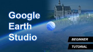
00:28 Intro to Google Earth Studio
03:00 Jump into Google Earth Studio and Start Animating
03:17 Look Around the UI
03:41 Navigation Tools and Keyframe Animation
06:30 Set a Camera Target
07:40 Set Camera Tracking Points
08:21 Render Your Animation
09:45 Orbit Animation
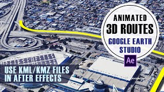
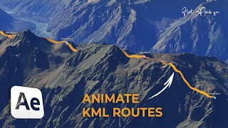
11:30 Use Camera Tracking and 3d Camera in After Effects
15:35 Using 3d Camera Info in 3ds Max
19:18 Final Thoughts
DESCRIPTION
If you work in archviz like I do, you often need an aerial animation of a construction project in full context, but building all that context in 3d can be time consuming and expensive. In recent years, with the explosion of drone technology, getting the context has become easier. Of course, you have to invest in expensive drone technology, possibly get a commercial drone pilot license, and learn complex camera tracking techniques. Now, there might be yet another option...Google Earth Studio.
Google Earth Studio can't cut out the artistic and technical elements of meshing 3d models and video footage together, but it can provide good footage to start with. The most intriguing part is that it can do this for basically any spot in the world, and you never have to leave your desk. Of course, this has been available for a long time with Google Earth, however, with Studio, we now have full control over the animations using familiar 3d animation techniques. We can also create camera tracking information directly within Studio, and export it to After Effects. I find the animation tools incredibly useful and intuitive, and the resulting footage to be very usable.
In this tutorial, I show you the workflow and go over the essential tools, so that you can be up and running right away with Google Earth Studio. I'll even touch a little bit on how to use the camera tracking so you can add 3d elements to your flyover animations.