15:37
Accuracy Assessment of LULC Image Classification using QGIS
137 views • 3 months ago
39:16
Satellite Image Classification for Land Use and Land Cover (LULC) Using QGIS
403 views • 3 months ago
7:29
How to create/edit attribute table of shapefile in QGIS
186 views • 5 months ago
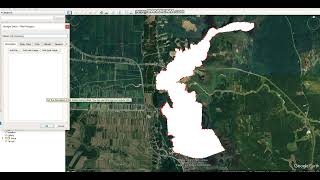
3:17
How to create a feature from Google Earth and convert to shapefile using QGIS, part 2
337 views • 6 months ago
10:00
How to create a feature from Google Earth and convert to shapefile using QGIS, part 1
313 views • 6 months ago
23:10
Extraction of Bioclimatic Variable Values from Point Locations using ArcMap
407 views • 7 months ago
29:05
Species Distribution Modelling using ArcGIS and Maxent Software- Step by Step Guide
4.6K views • 8 months ago
25:13
Georeferencing and Digitizing Scanned Maps Using QGIS Part 2
488 views • 1 year ago
18:15
Georeferencing and Digitizing Scanned Maps using QGIS Part 1
599 views • 1 year ago
21:34
How to Perform a Simple Spatial Data Analysis using QGIS
14K views • 1 year ago
22:27
Simple ways to download Landsat Satellite Images using Earth Explorer
378 views • 1 year ago
14:44
How to Extract Sampling Points Values from Raster Files using QGIS: Step-by-step methods
681 views • 1 year ago
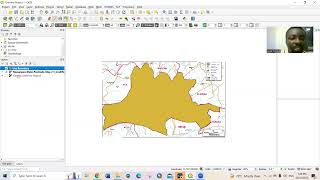
27:47
How to include roads in study area map using QGIS
4.4K views • 1 year ago
1:53:40
Create study area map using QGIS: Detailed step by step methods
69K views • 2 years ago
5:35
My Experience about Malaysia
135 views • 3 years ago
7:19
YOUR VISION AND YOUR SUCCESS
121 views • 3 years ago
6:45
PERSONAL DEVELOPMENT
97 views • 3 years ago
4:53
SAY NO TO RACISM
107 views • 3 years ago
4:36
Stay Positive During Covid-19 Period
98 views • 4 years ago
2:03
Maximizing Covid-19 period
52 views • 4 years ago
3:46
Time Management 2
86 views • 4 years ago
13:26
Time Management (1)
143 views • 4 years ago
3:31
Welcome message
58 views • 4 years ago
End of Videos