Published On Jun 23, 2020
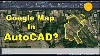
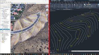
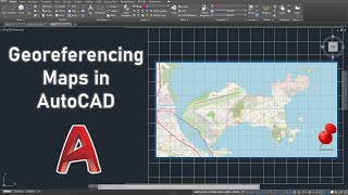
In this video, you will learn how to add a high-resolution image from Google Earth to AutoCAD, and how to georeference the image using two reference points within AutoCAD.
show more
In this video, you will learn how to add a high-resolution image from Google Earth to AutoCAD, and how to georeference the image using two reference points within AutoCAD.