Published On Mar 6, 2024
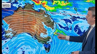
High pressure is mostly dominating NZ but a couple cold fronts will try their best to move up the country, falling apart as they do so. The first one is today, Thursday, but a couple more weak ones are expected in the week ahead - mostly in the lower South Island or West Coast.
As high pressure dominates the Tasman Sea area, low pressure dominates to the north. There have been news stories from other outlets about this low, but modelling is still very conflicted about its path towards NZ. Earlier this week modelling showed a direct hit. Today it shows it out to the east and merging with a wet southerly for eastern areas. Put simply - it’s worth monitoring, but for now it may not bring the rain relief some people want. We’ll update you again on Friday in our next video instalment of “RainWatch”.