Published On Feb 10, 2023
Check out the data set on Skand: https://app.skand.io/explore/share/63...
Join me on Social Media:
🖥️ Website: https://www.tamimi.biz
👤 Facebook: / tamimibiz
👕 Survey Shirts - https://www.SurveyShirts.com
👥 Private Facebook Group: / iamasurveyor
📸 Instagram: / ramitamimi
👔 LinkedIn: / ramitamimi
✉️ Email: [email protected]
Check Emlid Reach receivers - https://store.emlid.com/rami
Chapters:
0:00 Intro
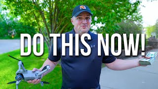
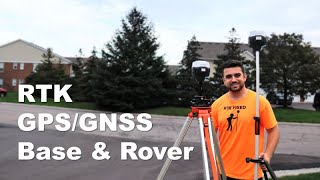
0:27 Setting Control with GNSS Receiver
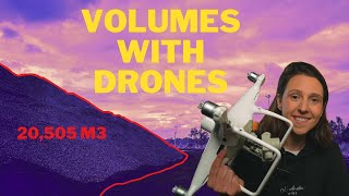
2:53 Mapping with the Drone
4:23 Intro to Skand.io
5:32 Coordinate Systems
6:38 Annotations
7:42 Image Viewer
Distant by Ghostrifter http://bit.ly/ghostrifter-yt
Creative Commons — Attribution-NoDerivs 3.0 Unported — CC BY-ND 3.0
Free Download: https://hypeddit.com/track/lka93o
About Rami Tamimi:
As a Doctor of Philosophy student in Geodetic Engineering at The Ohio State University, my research focuses on the integration of traditional field surveying and civil design with advanced geospatial technologies such as LiDAR and photogrammetry. With over a decade of experience in the land development industry, I am continually seeking opportunities to enhance my education and professional skills in order to sustain a successful career in this field.
#dronesurvey #Surveying #pointcloud