Published On Nov 23, 2023
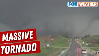
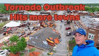
Welcome to another episode of "Your Drone Questions Answered" with John Dickow from Drone Launch Academy. In this episode, the focus is on using drones to survey storm damage, and John is joined by Lou Ruh, a retired fire police lieutenant and storm chaser with the National Weather Service.
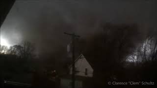
Lou shares his experience of storm chasing over the past 20 years and highlights the challenges faced in traditional damage surveys, especially when dealing with time-sensitive forensics. He emphasizes the need to gather information quickly before it gets contaminated.
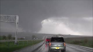
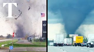
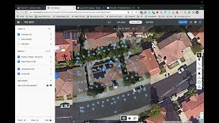
The conversation delves into the role of drones in storm damage surveys, providing a unique perspective from the air to assess path length, path width, and areas inaccessible from the ground. Lou introduces the SkyBrowse tool for mapping storm damage, showcasing its measurement capabilities for a more accurate analysis.
The discussion also touches on the types of drones used, such as the Mavic 3 and Air 2S, each serving different purposes in storm damage assessment. Lou explains the importance of mission planning and the tools required for effective surveying.
As the episode concludes, Lou offers advice for those interested in storm surveying, emphasizing the value of building relationships with local National Weather Service offices. He also mentions the potential role of drones in collaborating with news media during storm events.